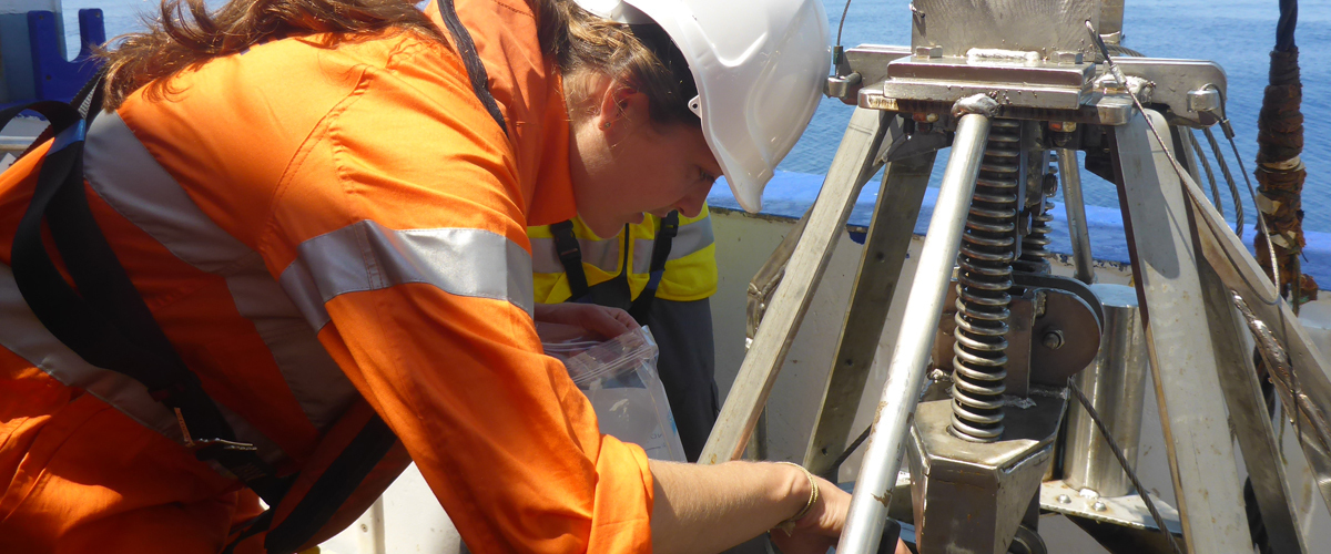
The Marine Biodiversity Hub has developed a suite of field manuals to ensure that data collected by seafloor-sampling platforms at different times and places across Australia are directly comparable.
The Marine Sampling Field Manuals for Monitoring Australia’s Marine Waters support the national-scale monitoring and observing of Australia’s marine environment. With more than 136 contributors from 53 agencies, the manuals include information on marine survey design, pre-survey planning, gear deployment and retrieval, and data management. They provide consistent, defensible methods for collecting data that can be compared with other regional and national collections and are endorsed by researchers, managers, and technicians from multiple agencies with a variety of experience and subject-matter expertise.
Access the field manuals
Download individual chapters
- Chapter 1 – Introduction
- Chapter 2 – Survey Design
- Chapter 3 – Multibeam Echosounder (MBES)
- Chapter 4 – Autonomous Underwater Vehicles (AUV)
- Chapter 5 – Benthic Baited Remote Underwater Video (BRUV)
- Chapter 6 – Pelagic Baited Remote Underwater Video (BRUV)
- Chapter 7 – Towed Imagery
- Chapter 8 – Sleds and Trawls
- Chapter 9 – Grabs and Boxcorers
- Chapter 10 – Remotely Operated Vehicles (ROVs)
Related information
- Open access journal article: 'A Suite of Manuals for Marine Sampling to Monitor Australian Waters'
- Story: Marine sampling field manuals support biodiversity monitoring at a national scale.
- Flyer: Field manuals for marine sampling: towards a national monitoring program
- Free poster: Gear Up -Field manuals for marine sampling
- Project D2 - Standard operating procedures for survey design, condition assessment and trend detection
Contact: Rachel Przeslawski
Last modified:
Monday, March 29, 2021 - 11:54am

